SpotWell is a well spotting information tool that creates:
-
GIS Coordinates from Footage Calls using a PLSS Landgrid database.
-
Footage Calls from GIS Coordinates using a PLSS Landgrid database.
-
A number (N, user specified) Horizontal Well Layout information lines from Footage Calls of Starting (and Ending) Landing Point(LP)/Bottom Hole(BH) Points.
The tool has the functionality to produce automatically created well names using well-naming functions. The auto-created well names are included as attributes in all outputs.
The outputs include:
-
LP and BH location point Shapefile.
-
Lateral Lines Shapefile.
-
Excel CSV files with GIS Coordinates and Footage Calls for each lateral.
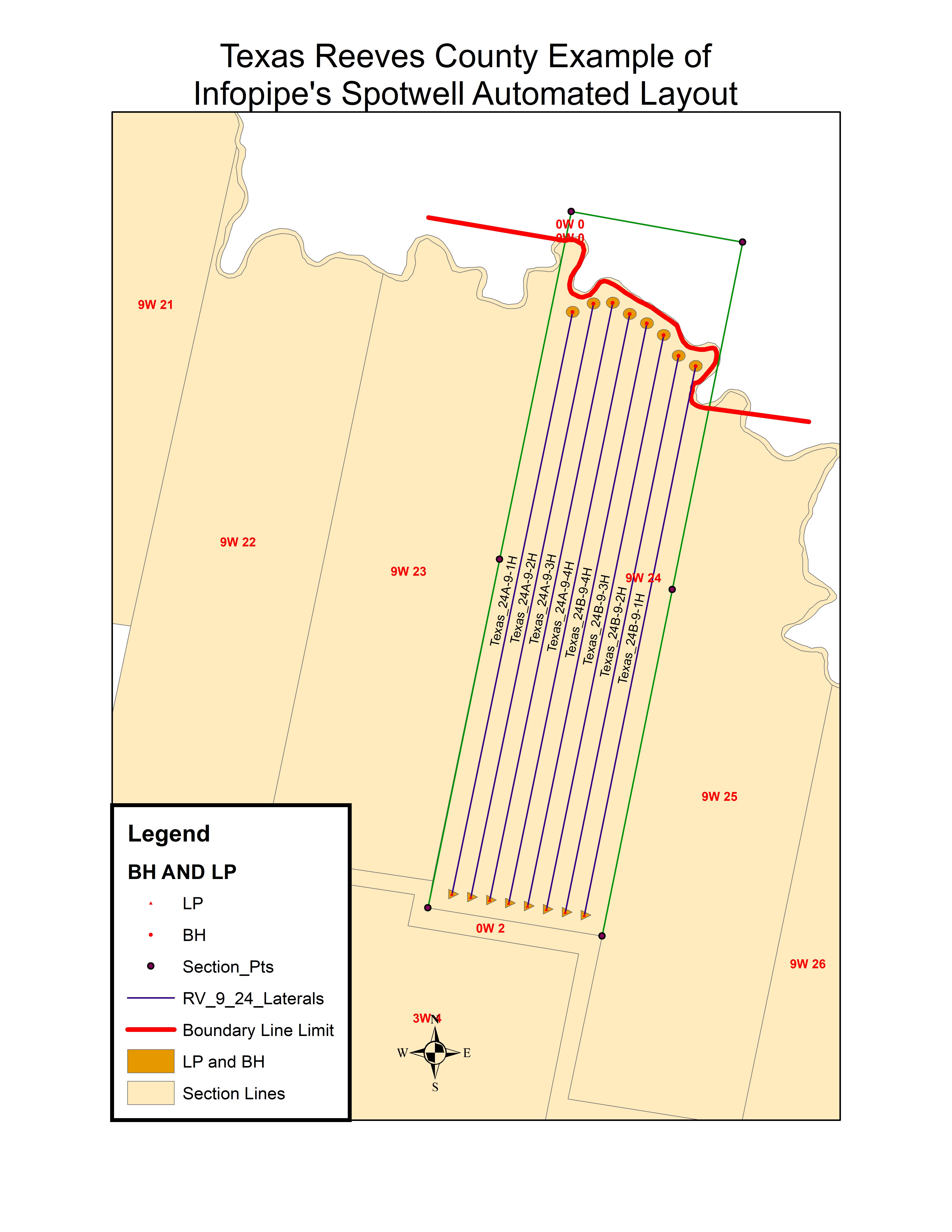
Below is an example of well layout for a Texas Tract. Note the Red limiting boundary line that the tool "pulls" back from to build the final layout. This tool lays out laterals in very short order compared to days for most hand layout activities:
We are demonstrating SpotWell(c) via Webex.
System Requirements: Windows 10 and Access.
Petra is registered Trademarks of IHS Corporation. ESRI is a registered trademark of ESRI. InfoShape is pending registration.Infopipe is a registered service mark.